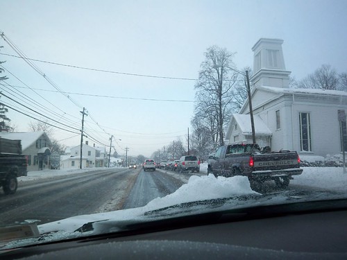
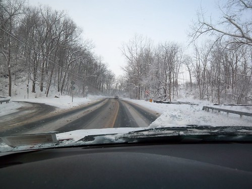
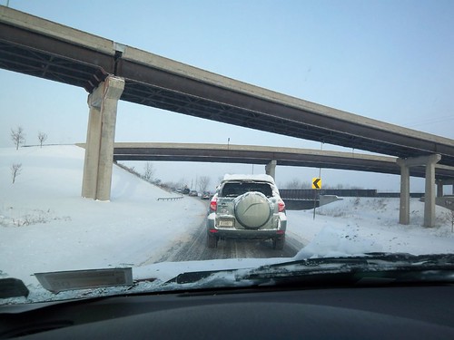
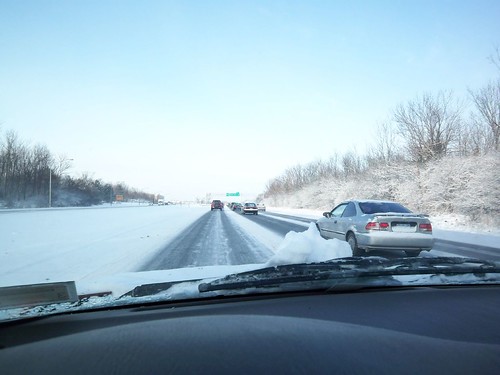
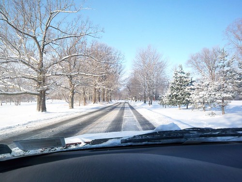
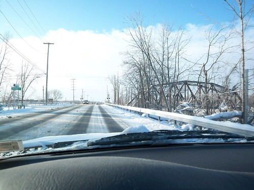
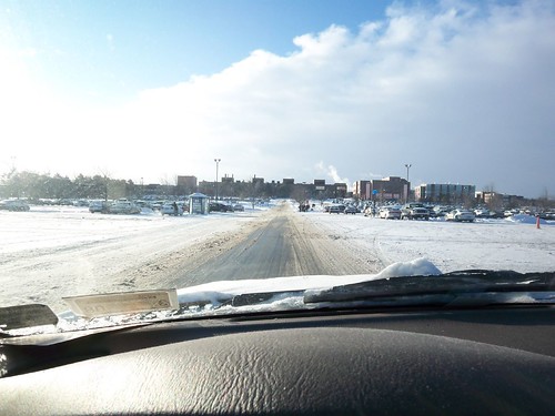
As I’m not ready with the next part of my analysis of the YouTube/LiveVideo tempest-in-a-teapot, I’m sharing something completely different: my commute to RIT. Winter has come to Rochester. Today it was 11 degrees (Fahrenheit) out when I left the house. Over the last few days we’ve been getting a lot of snow. I’m not quite sure what possessed me, but I decided to (carefully) document my drive to work. So from time to time I would rest my digital camera on the steering wheel and take a photo.
As an experiment, I’ve taken all of these pictures, placed them on flickr and geotagged them. The result, you can track my commute. The location of the photos are pretty much dead on. In fact, the act of placing them was really interesting in and of itself. Doing so caused me to relate to my picture, my commute, and the locations I pass by in a very different way.
What’s your commute look like?
Here’s the first picture, 12 more follow after the jump.


<


Love it. My favorite post in a long long while. :)
Thanks Heather! Yeah, as I’m starting to get back on my feet, I’m planning to try and mix the content up a bit. I’m excited to see you’ve got a new blog as well!